Historical Uses
Cutillo Park is now (2018) just a little over 100 years old. The number and variety of uses of this Park. Over the years, the Park was used as:
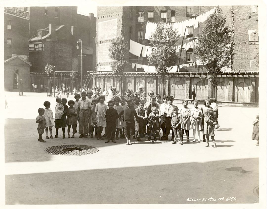
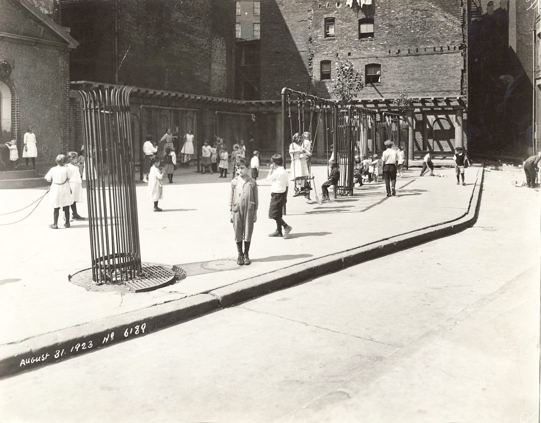
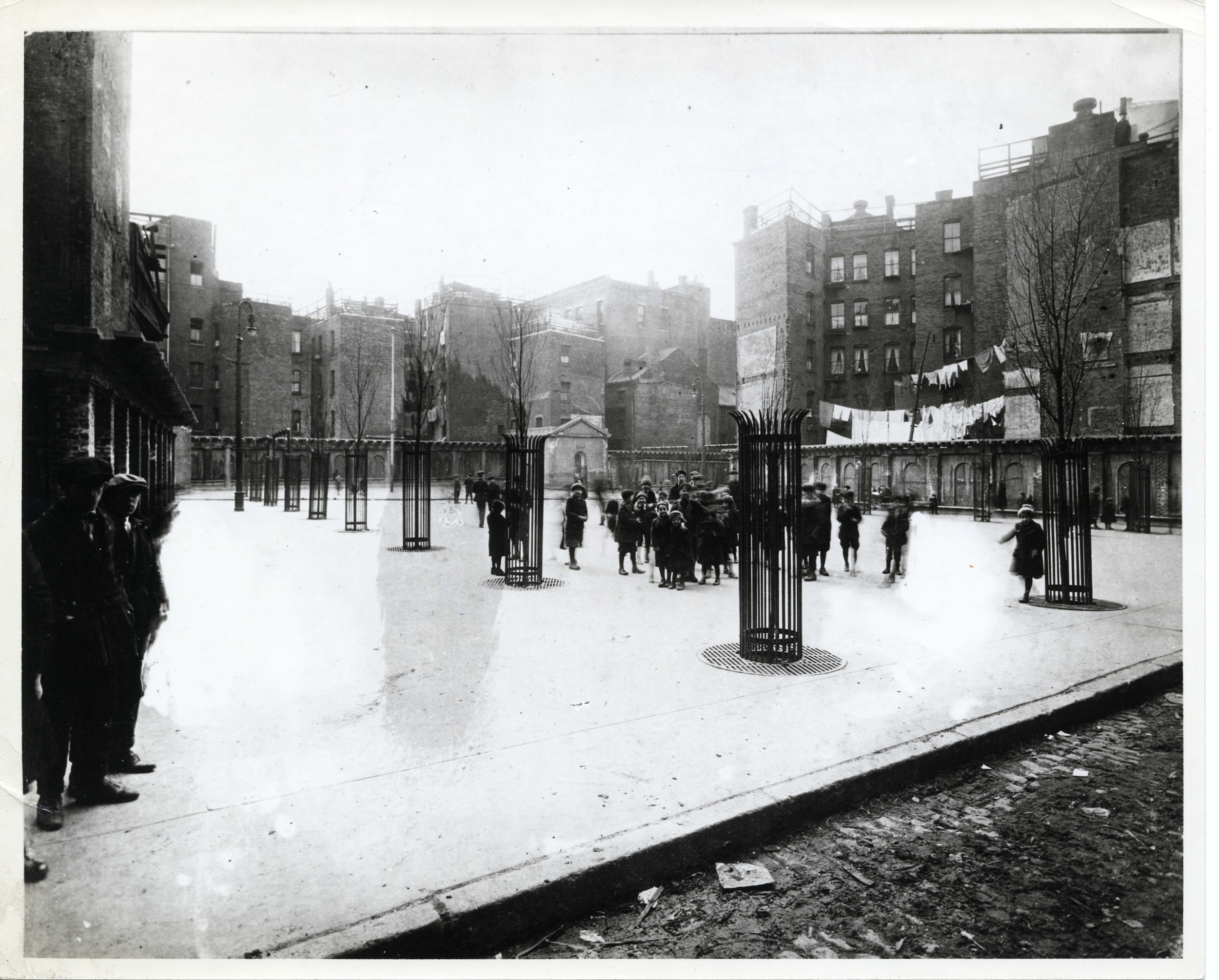
Open space
Ball field
Jumping rope
School playground (St. Mary’s)
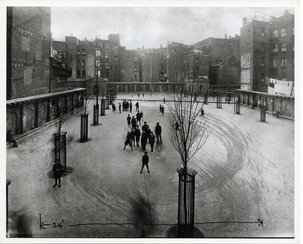
Flooded for skating
Tennis
A mound (“The Hill”), near Salem Street, used for sledding
Ice skating rink operated by the Metropolitan District Commission
In the 1970’s, a children’s play area and basketball court
Selling fireworks (multiple exits if police arrived!)
From the 1968 North End Recreation and Open Space Study prepared by the BRA Planning Department for the Parks & Recreation Department: “Cutillo Skating Rink is located on a small site in a congested part of the neighborhood. This relatively new facility is closed due to a history of vandalism and decreasing use. Occasionally, the rink is used as an indoor play area by the St. Mary School pupils during recess. The Metropolitan District Commission, operator of the facility, does not plan to reopen the facility.” The 1968 study made the following recommendation for “Cutillo Play Lot”: “The existing skating rink structure should be demolished and the site should be redesigned and reconstructed as an outdoor play lot for young children with sitting areas for mothers. Demolition of the structure and minor site preparation should be the responsibility of the Metropolitan District Commission which owns the facility. After completion, the site should be transferred to the Parks and Recreation Department for further development and maintenance responsibilities.”
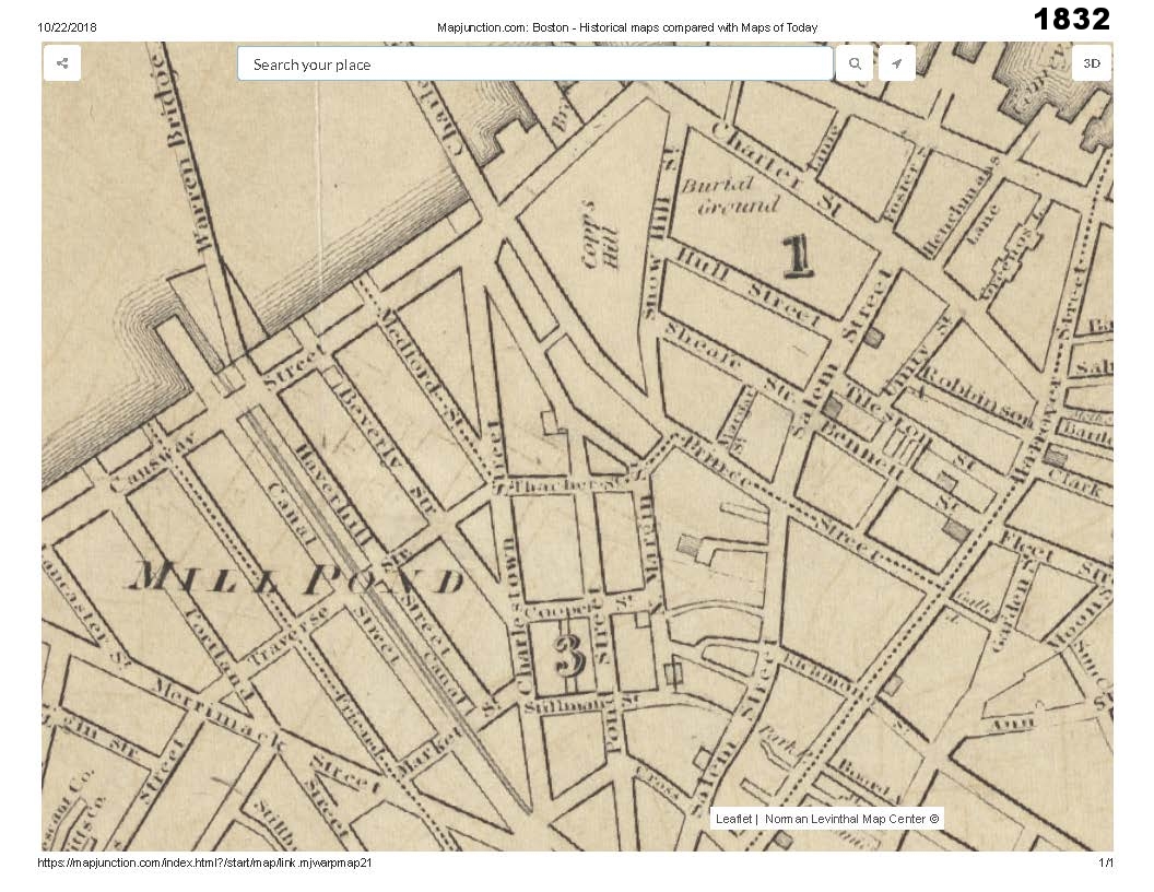
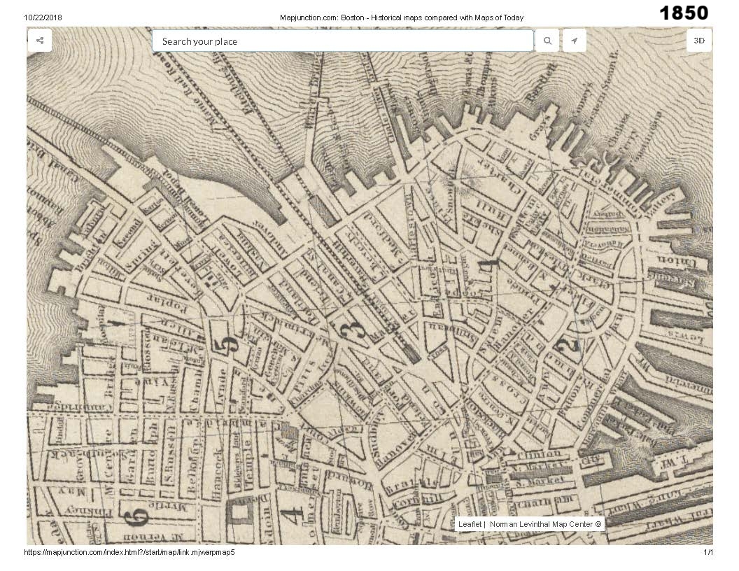
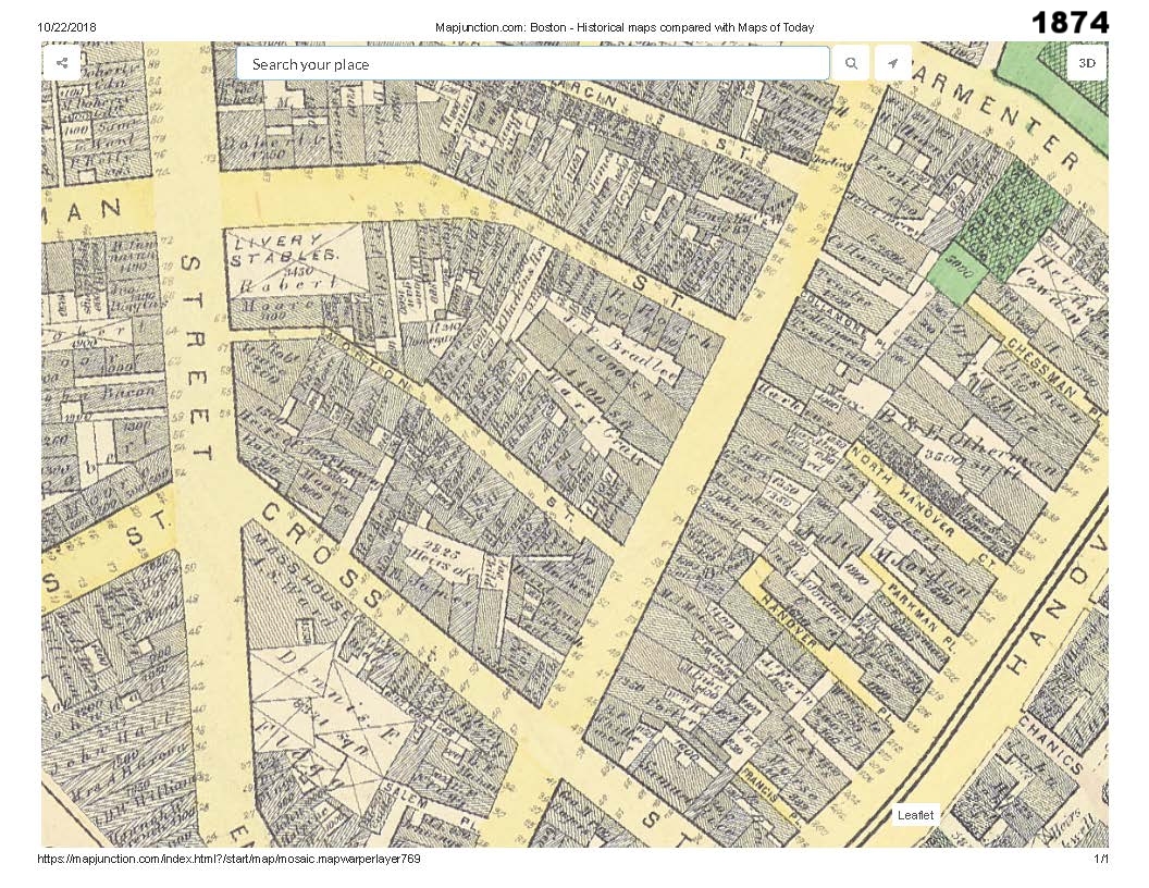
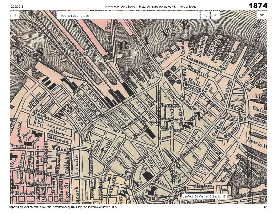
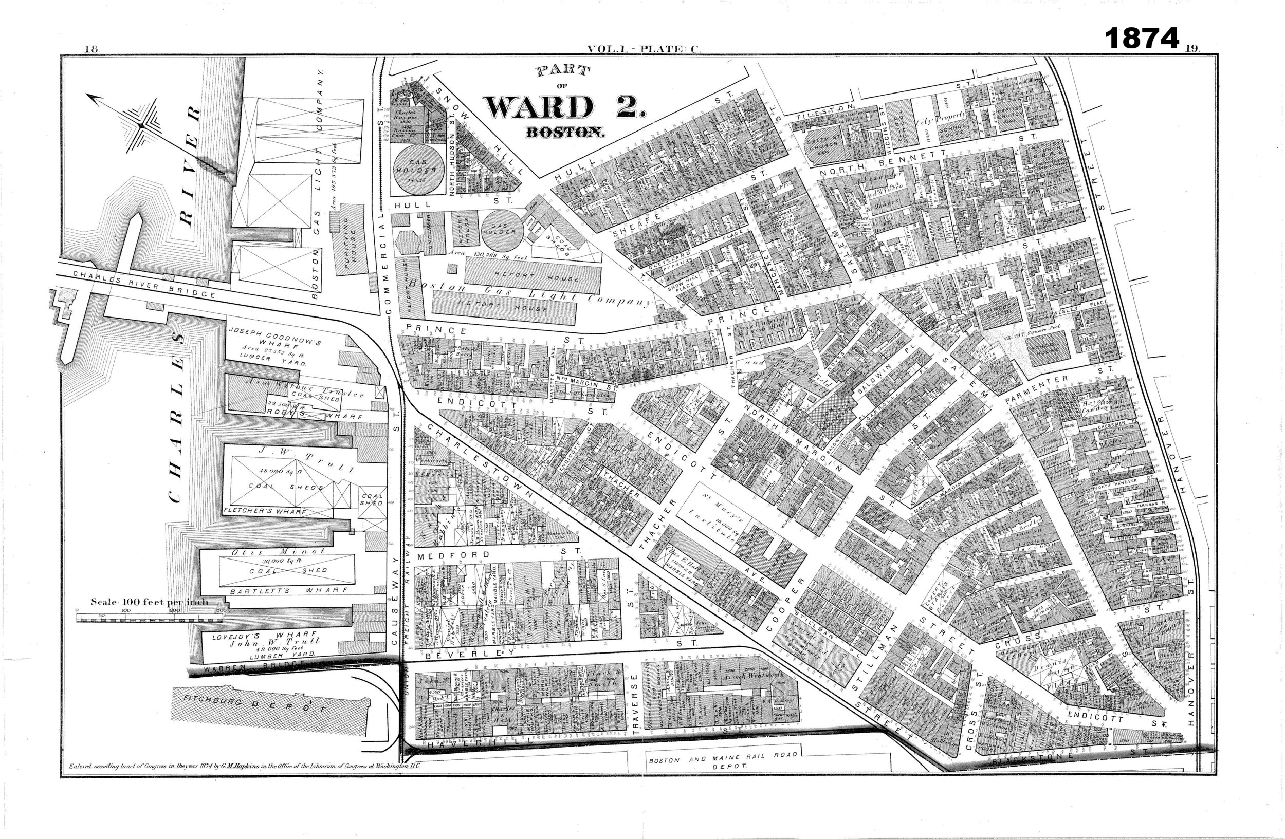
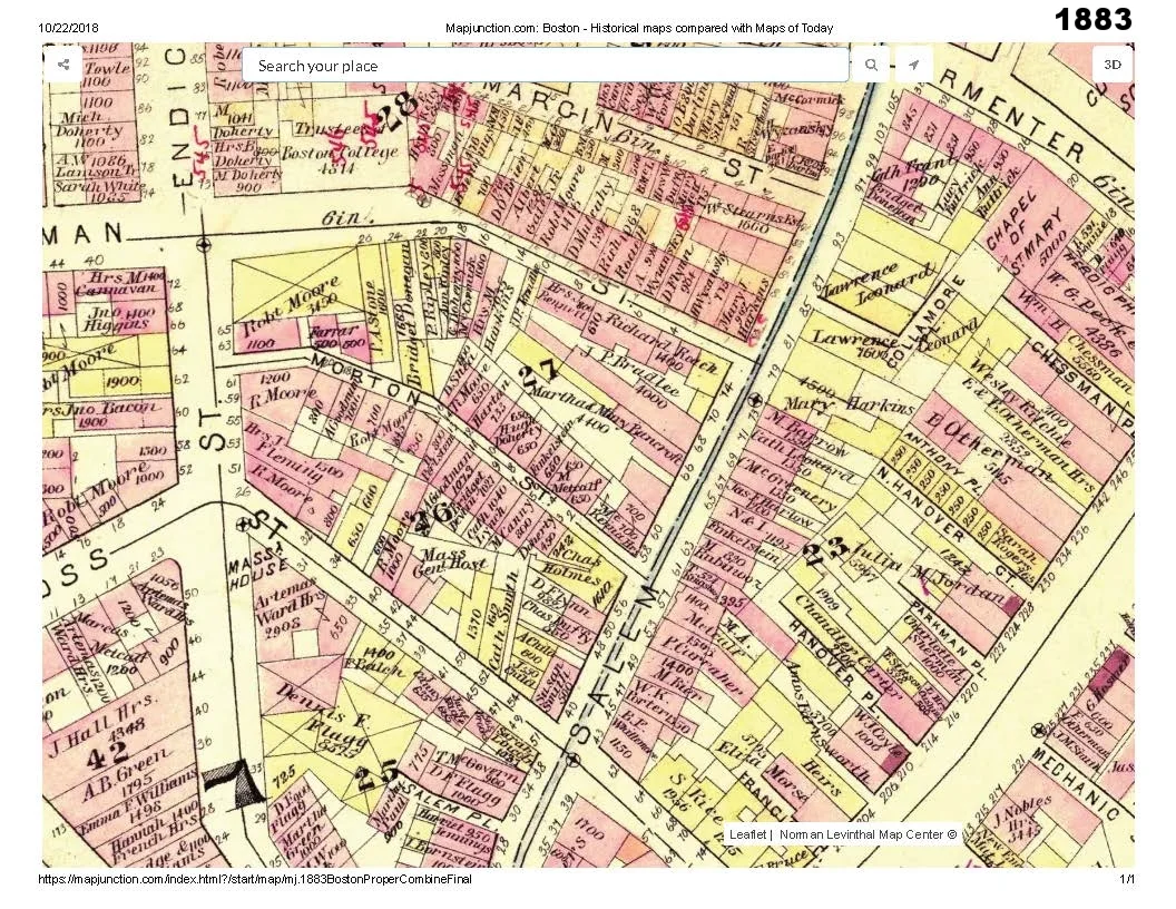
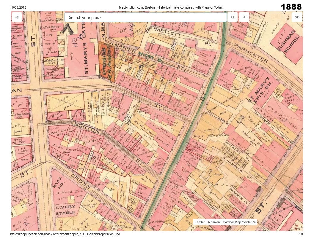
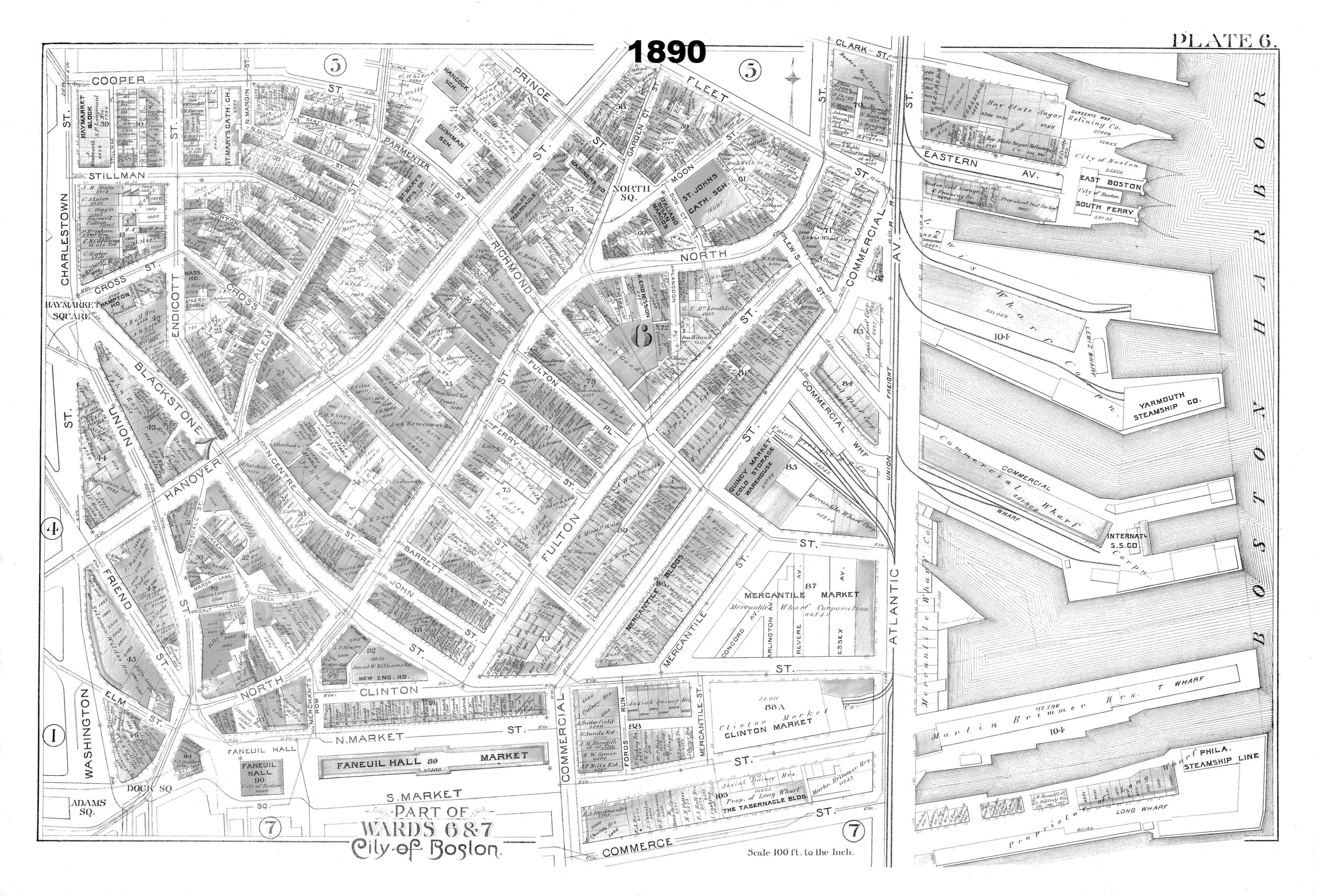
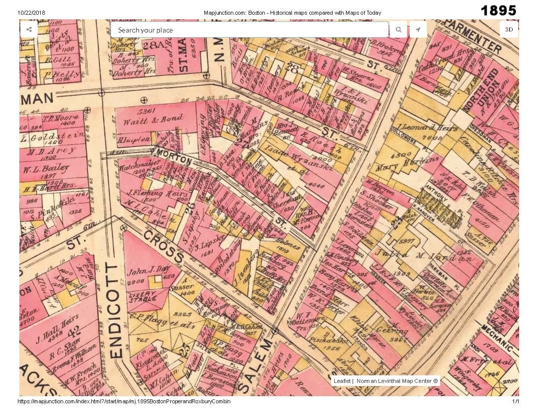
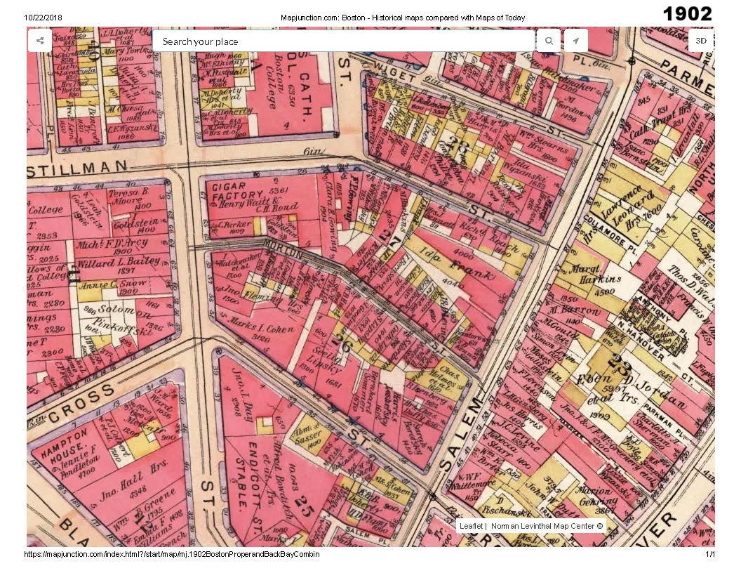
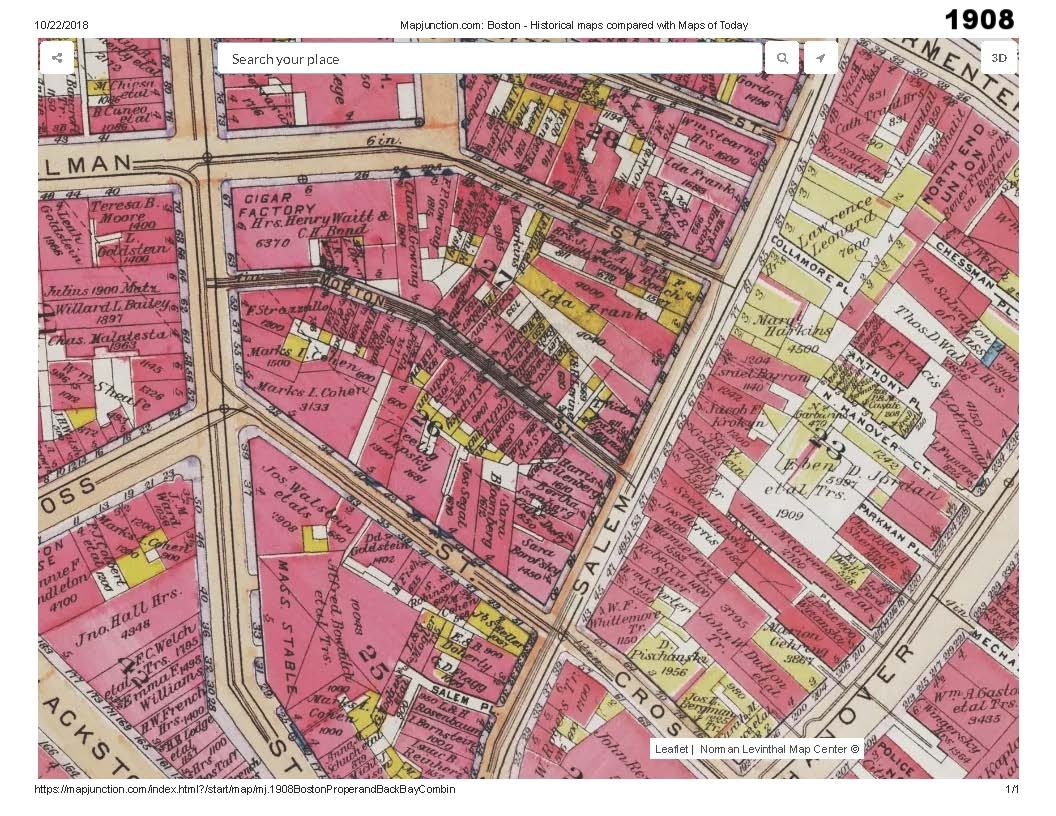
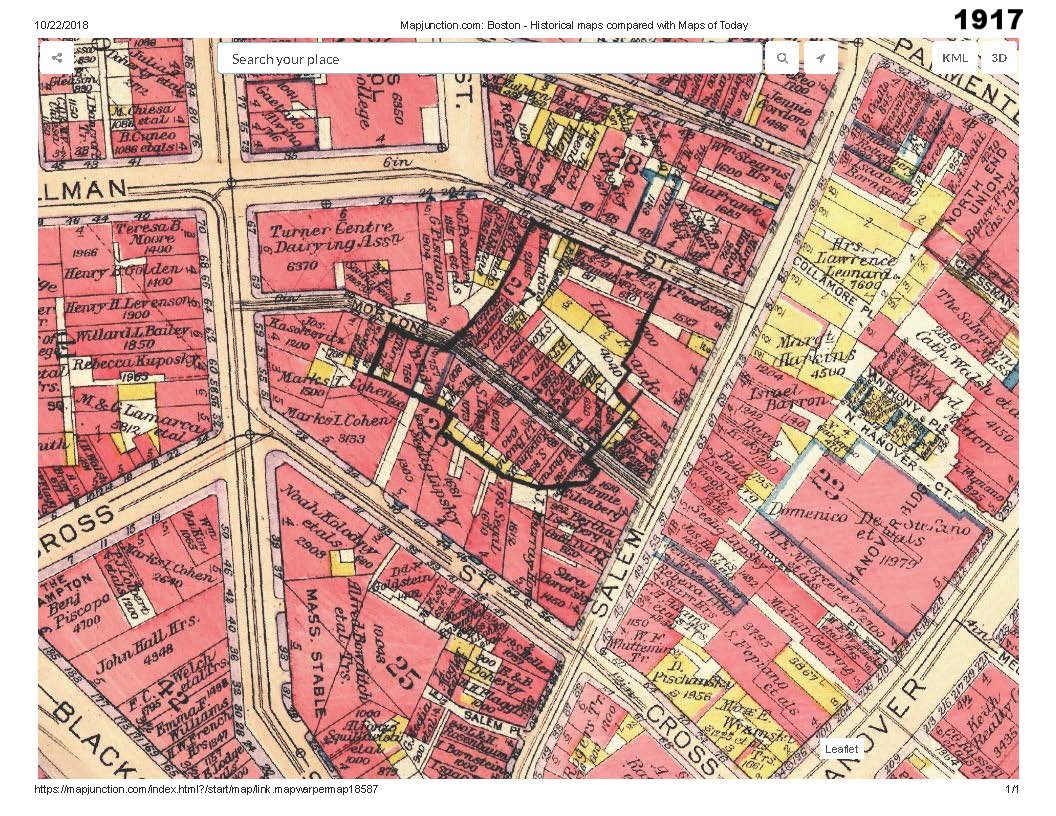
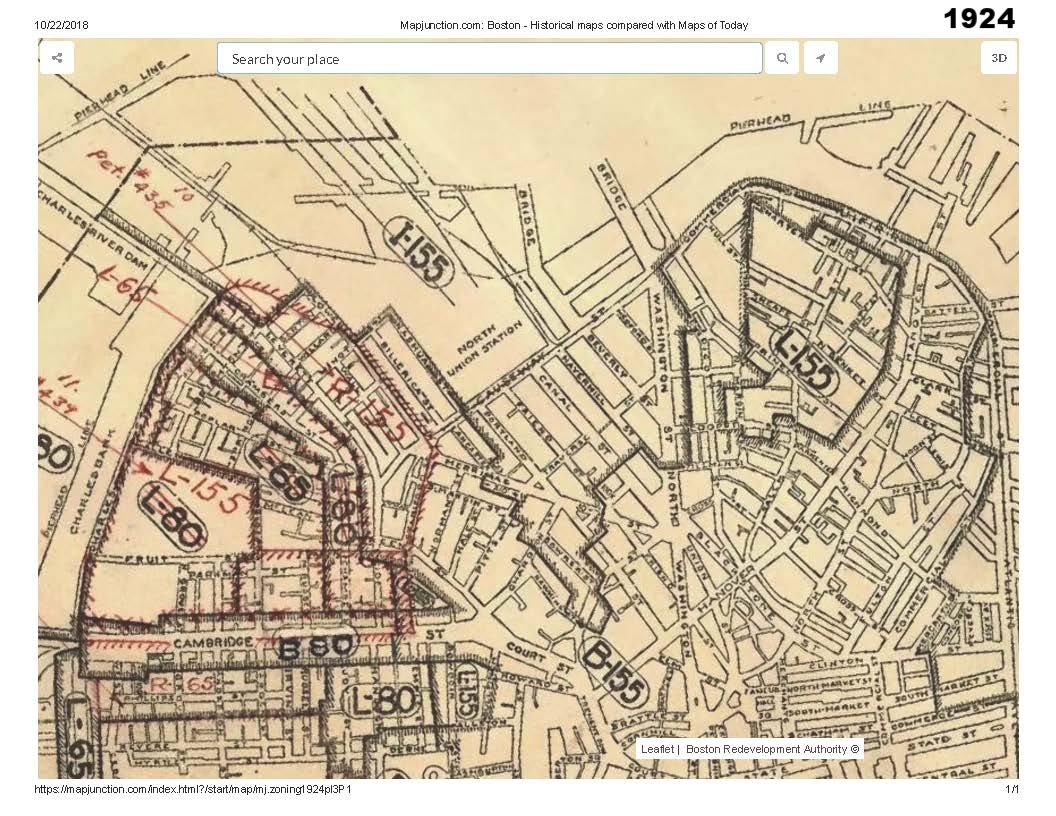
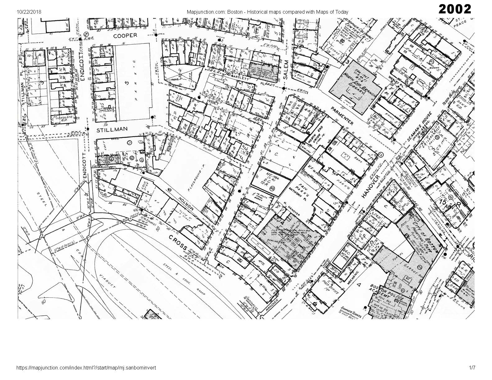
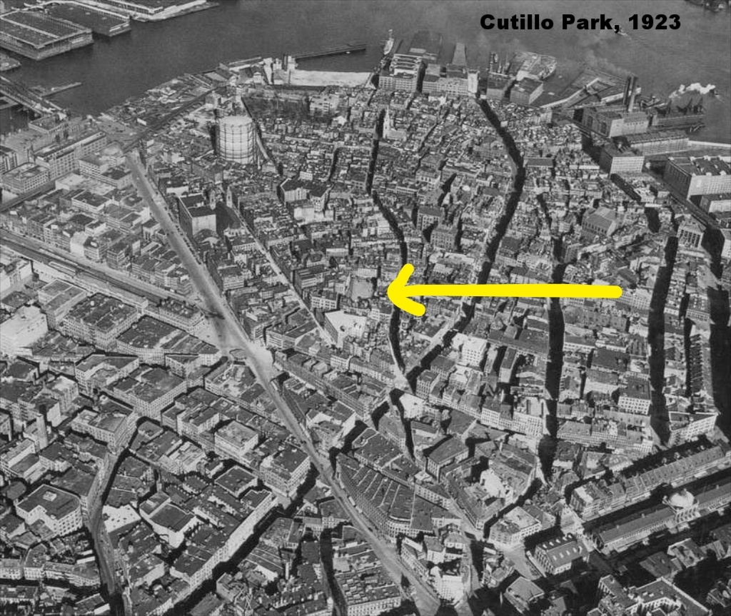
Historical Maps
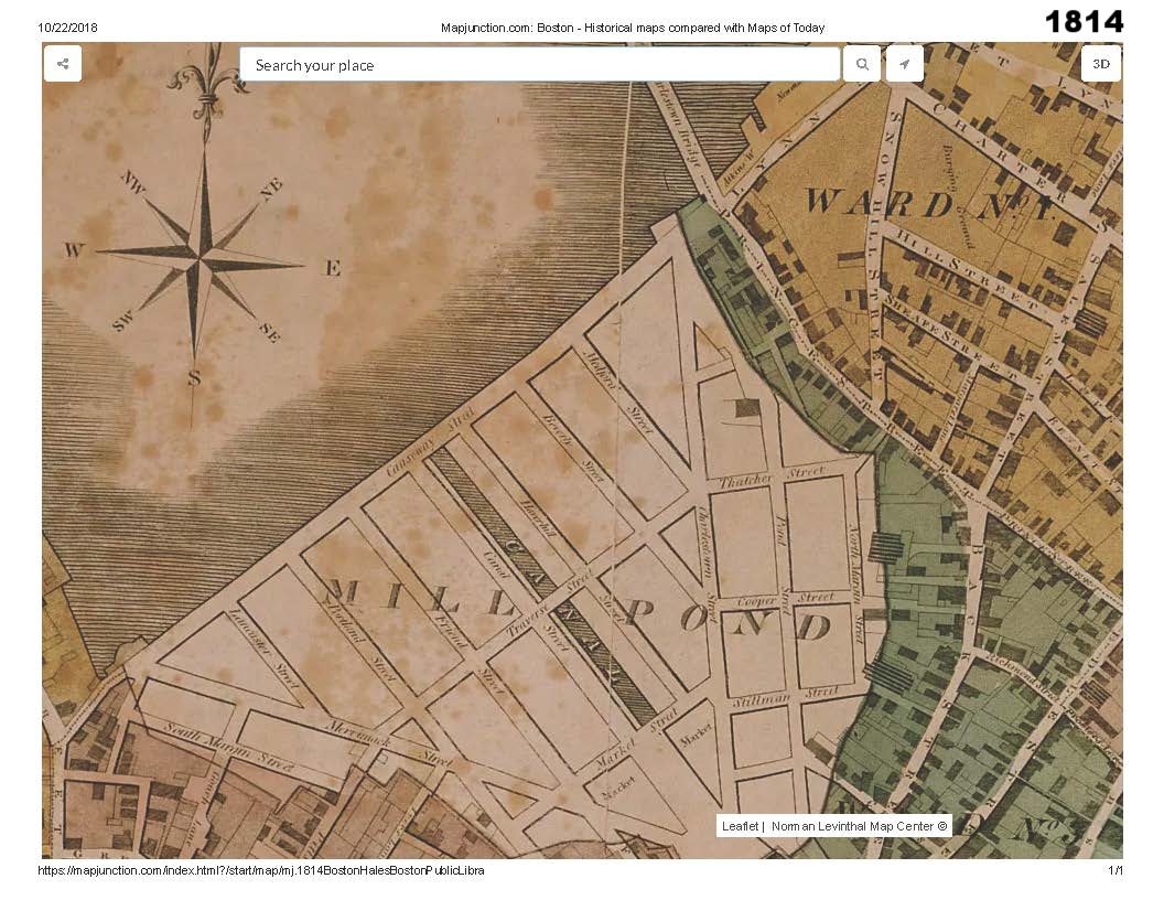
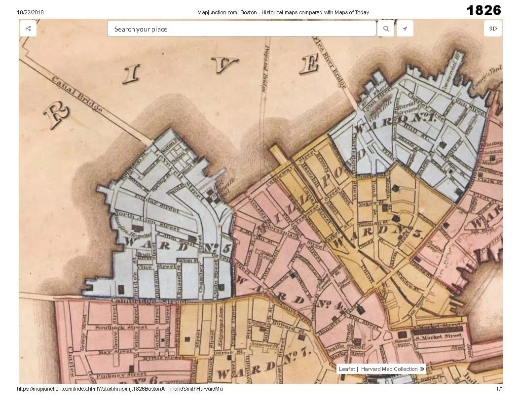
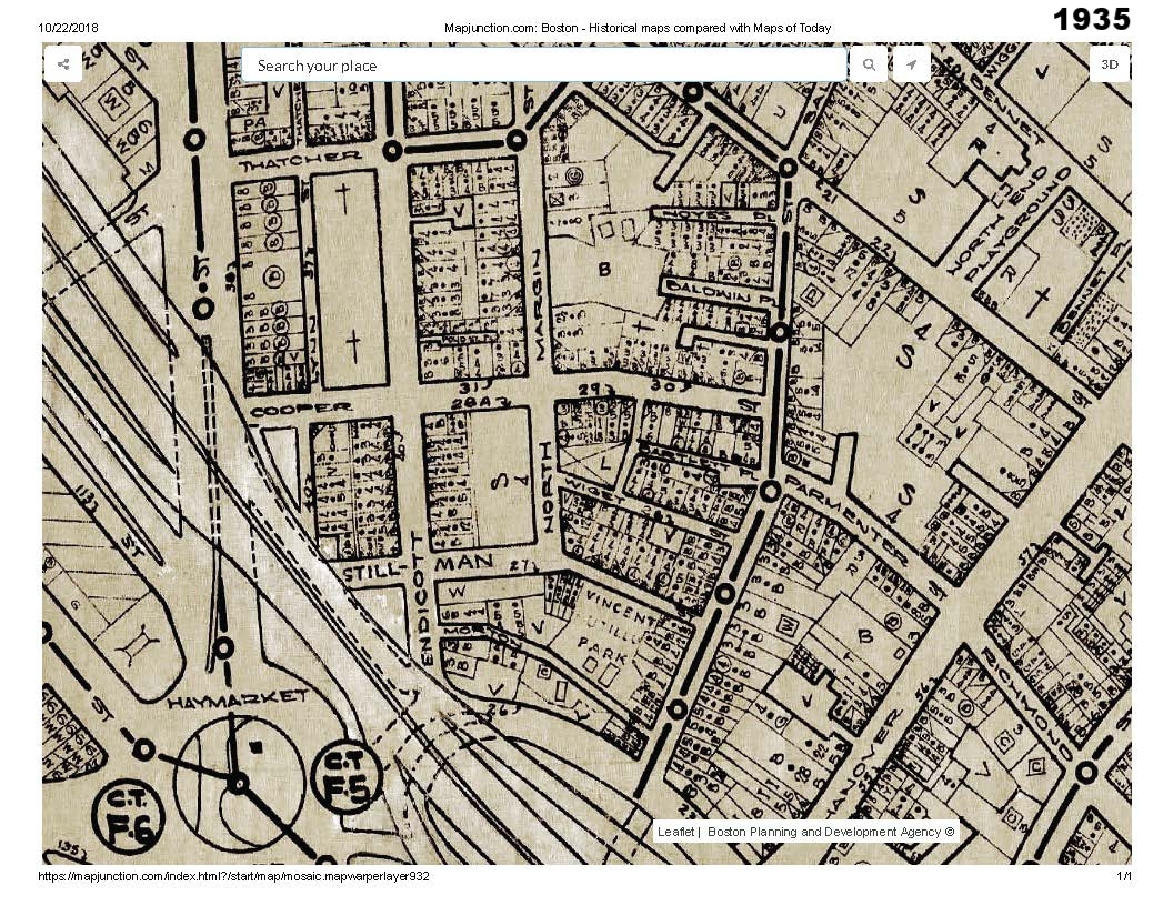
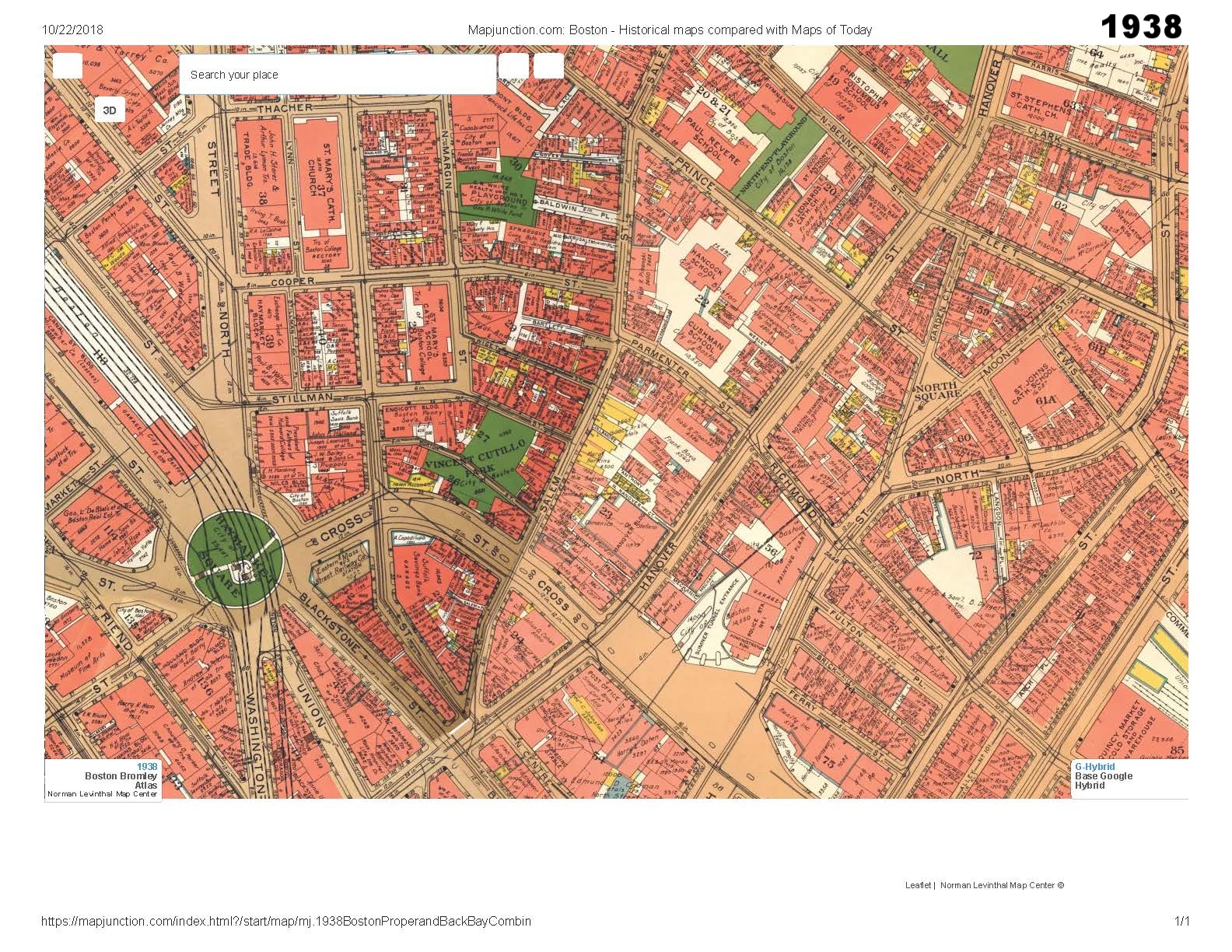
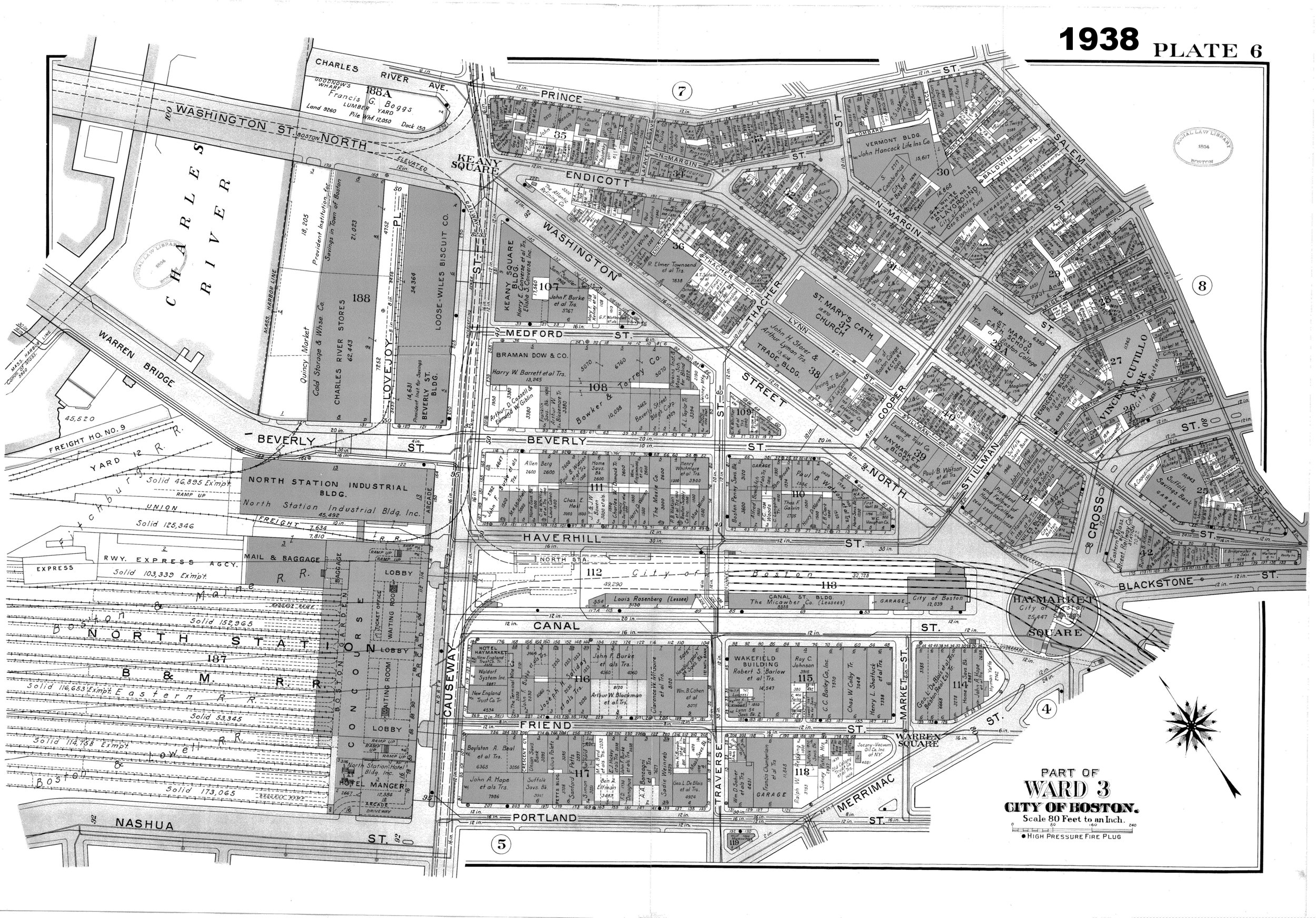
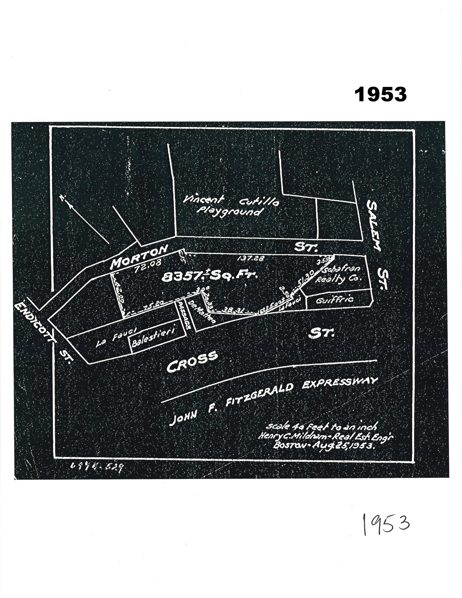
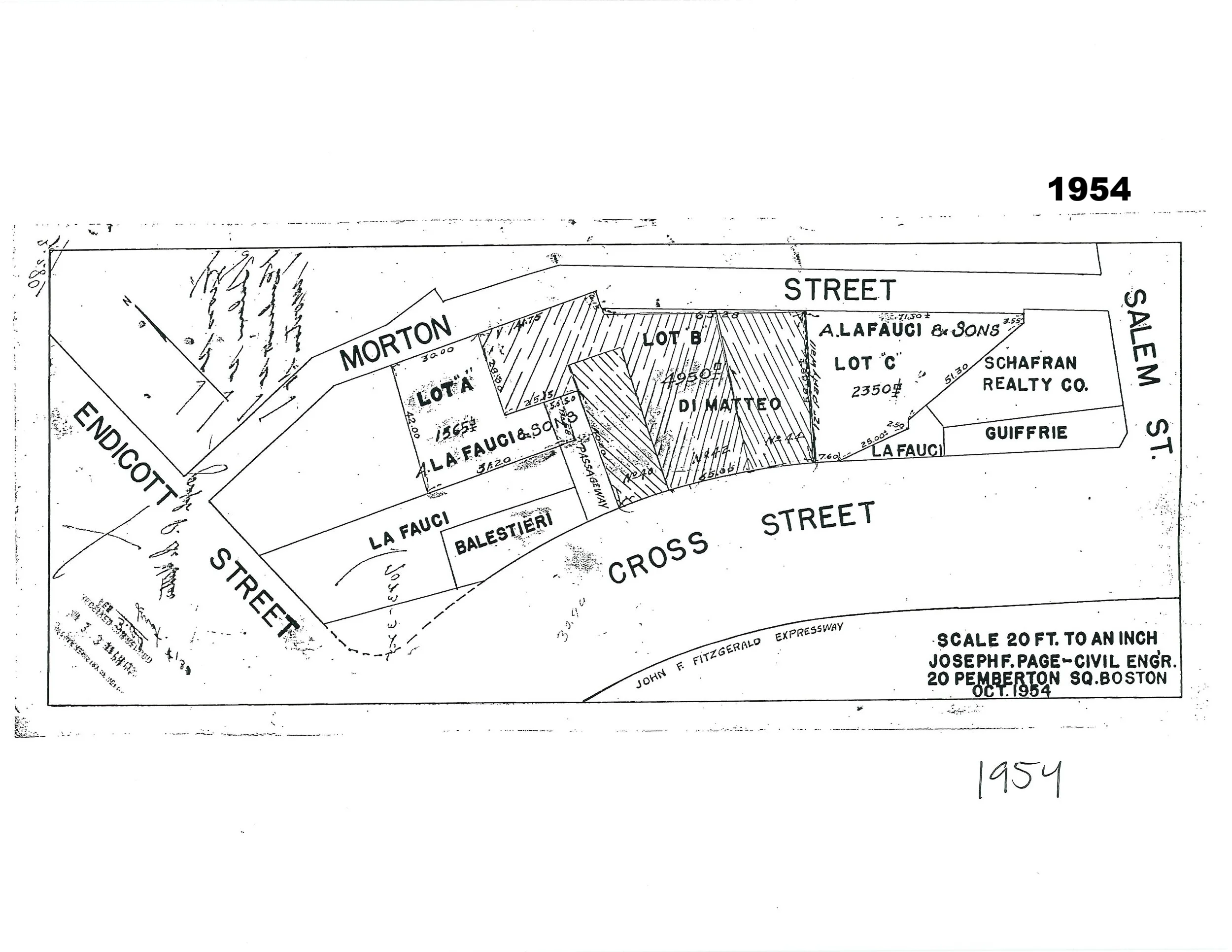
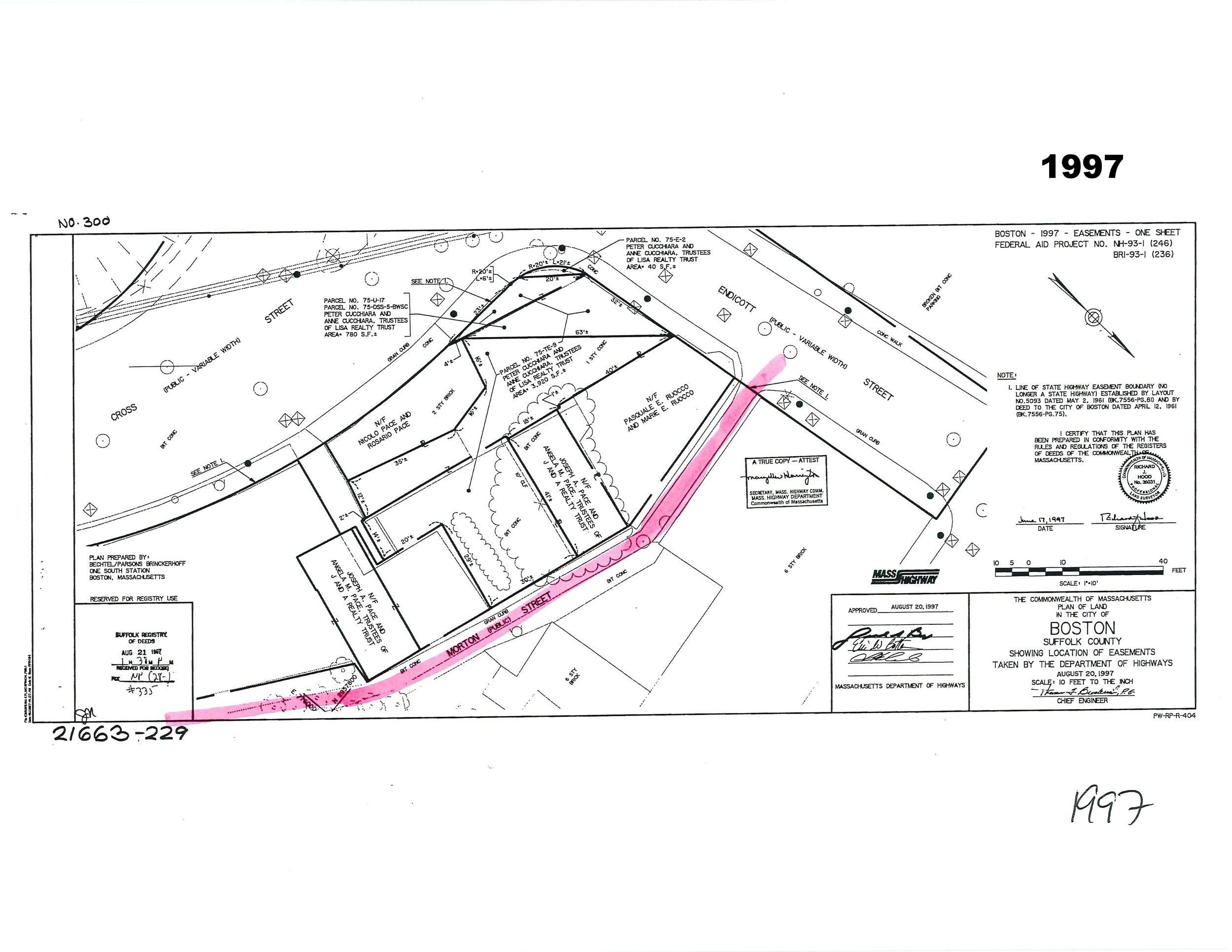
The historic maps shown here trace the development of the Cutillo Park and Morton Street area from the early 1800’s, before the area existed as land and was part of Mill Pond, to 2002.
Stillman Street and Cross Street were initially laid out by 1814.
Morton Street appears by 1874.
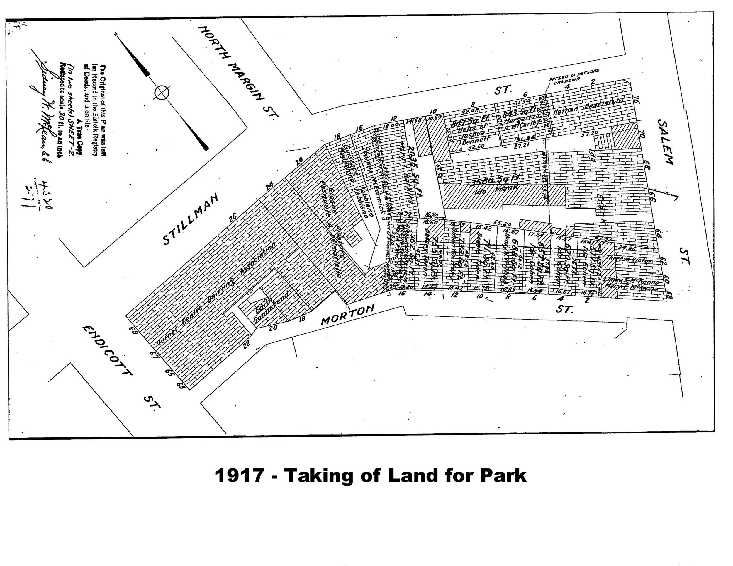
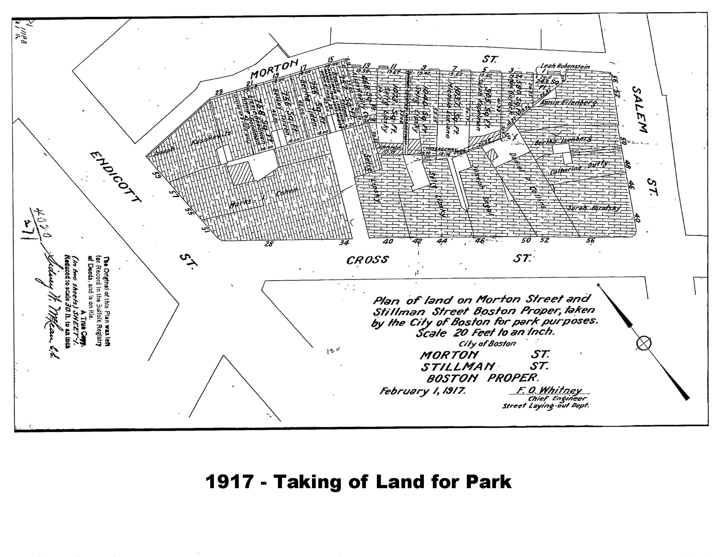
In 1917, land on the south side of Stillman Street was taken for park purposes, and the Stillman Street Playground was created, continuing across Morton Street. The 1917 map shows in outline the area that was taken by the City for the Park. Also see below for the 1917 Taking by the City and the related plans.
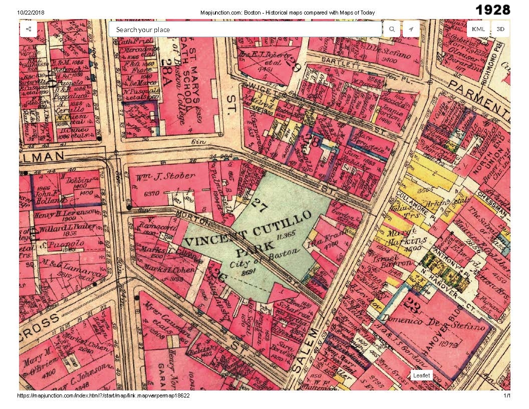
The park was names for Vincent J. Cutillo, who was killed in action in World War I in 2018 (https://www.fold3.com/page/641400467-vincent-j-cutillo).
By 1928, Vincent Cutillo Park is shown.
In the 1950’s, possibly in connection with the creation of the Central Artery, the portion of Cutillo Park on the south side of Morton Street was sold by the City to third parties, possibly because road construction compromised the enclosed nature of the playground. The 1953 map appears to show in outline the portion of Cutillo Park south of Morton Street that was ultimately sold to private owners.
Historical Photos
1917 Taking by the City of Boston